
- Selector Map
- Mediterranean Sea (All)
- Western Mediterranean
- Central Mediterranean
- Eastern Mediterranean
- Adriatic & Aegean Seas
- Strait of Gibraltar
- Balearic Islands
- Ligurian Sea
- Corsica and Sardinia
- Strait of Bonifacio
- Sicily and Malta
- Bermuda to West Indies
- South Florida
- Florida to West Indies
- Gulf of Mexico
- Caribbean Sea
- Virgin Islands to Dominica
- Leeward Islands
- Windward Islands
- Gulf of Honduras
- Approaches to Panama
- Northern Europe to Iceland
- British Isles
- S. Ireland to English Channel
- English Channel
- Bay of Biscay
- Portugal to Gibraltar
- Canary Islands
- Labrador Sea and Greenland
- Nova Scotia and Newfoundland
- New England
- Chesapeake and Delaware
- Cape Hatteras to Florida
- Newport to Bermuda
- Great Lakes
- Great Lakes (all)
- Lake Superior
- Lake Michigan and Lake Huron
- Lake Ontario and Lake Erie
- North Atlantic Ocean (All)
- Tropical Atlantic Ocean
- Northern Transatlantic
- Southern Transatlantic
- Mediterranean to Caribbean
- Azores to Mediterranean
- South Atlantic Ocean (All)
- Cape Town to Rio de Janeiro
- Buenos Aires to Rio de Janeiro
- Cape Horn - Drake Passage
- South Africa to Seychelles
- North Pacific Ocean (All)
- Gulf of Alaska
- California to Hawaii
- USA West Coast
- Strait of Juan de Fuca
- Southern California
- California to Mexico
- Baja California Peninsula
- Mexico to Panama
- Panama to the Galapagos
- North America to Polynesia
- Sea of Japan
- Japan to Micronesia
- Strait of Malacca
- South China Sea
- South Pacific Ocean (All)
- Fiji to the Marquesas
- NE Australia and Coral Sea
- SE Australia and Tasmania
- SW Australia
- New Zealand
- Southeast Pacific Ocean
- Northern Indian Ocean
- Southern Indian Ocean
- Red Sea and Arabian Sea
- Southwest Australia
- Giraglia Race
- Middle Sea Race
- Antigua to Bermuda Race
- Atlantic Rally for Cruisers (ARC)
- Cape to Rio Race (South Atlantic Race)
- Charleston Bermuda Race
- Fastnet Race
- Marion to Bermuda Race
Newport Bermuda Race
- Pineapple Cup (Montego Bay Race)
- Regata al Sol (Pensacola to Isla Mujeres)
- RORC Caribbean 600
- RORC Transatlantic Race
- Transatlantic Race
- Bayview Mackinac Race
- Chicago Mackinac Race
- China Sea Race
- Corona del Mar to Cabo San Lucas Race
- Long Beach to Cabo San Lucas Race
- Newport Beach to Cabo San Lucas Race
Pacific Cup
- Sydney Hobart Race
- Transpac Race
- Tropical Warnings
- World Pilot Charts
Giraglia Rolex Cup
Annapolis to Bermuda Race

We offer custom Weather Routing and Historical Weather Services
If you use this site on a regular basis, please consider helping us out...
PassageWeather.com specialises in Sailing Weather Forecasts... We provide 7-day Wind and Wave Forecasts to help sailors with their passage planning and weather routing. Before and during deliveries, ocean races, regattas, cruises, and all other types of offshore passages, we have your whole route covered.
Our sailing weather forecasts are derived using data from the most trusted and reliable weather models available. These models include the GFS and WaveWatch III models, the same weather models that produce the GRIB files used by modern electronic navigation software and weather routing software.

We have a small favor to ask you.
More people are using PassageWeather than ever, but advertising revenues across the web are falling fast. And unlike many other websites, we haven't put up a paywall - we want to keep our website as open and free as we can. So you can see why we need to ask for your help.
PassageWeather's forecasts take a lot of time, money and hard work to produce. But we do it because we believe our forecasts matter.
If everyone who uses our weather forecasts helps us out just a little bit, our future would be much more secure.
You can support PassageWeather for as little as 5€ - and it only takes a minute.
Yes, I'd like to Help Close


Cruise FAQs
How to check weather for a cruise.
Table of Contents
Key Takeaways
- Stay flexible and prepared for changes in weather conditions
- Pack warm and cool clothing options for varying weather conditions
- Stay informed through the ship’s daily newsletter or crew updates
- Consult with cruise line or travel agent for weather updates
Research the Weather Patterns of Your Cruise Destination

Check Weather Websites and Apps
Look for cruise-specific weather forecasts, pay attention to weather alerts and warnings.
- Keep an eye on the weather forecast constantly to stay updated.
- Follow the instructions and recommendations provided by the cruise line regarding weather alerts.
- Be prepared for itinerary changes or possible delays due to adverse weather conditions.
- Familiarize yourself with the emergency procedures and protocols in case of extreme weather situations.
- Stay connected with the ship’s crew and fellow passengers for any updates or changes.
Consider the Time of Year and Seasonal Weather Patterns
Keep an eye on tropical storms and hurricanes, pack appropriate clothing and accessories, plan activities and excursions based on the weather, stay flexible and be prepared for changes, consult with your cruise line or travel agent for weather updates.
- Accurate and up-to-date information on weather conditions
- Guidance on potential changes to your travel arrangements
- Tips on how to prepare for different weather scenarios
- Knowledge of any alternative activities or destinations in case of adverse weather
- Assistance in making informed decisions to ensure a smooth and enjoyable cruise experience
Frequently Asked Questions
What are some popular weather websites and apps that can provide accurate cruise-specific weather forecasts, how can i stay updated on weather alerts and warnings during my cruise, are there any specific clothing or accessories that i should pack for a cruise, considering the weather conditions, what are some activities or excursions that i should plan based on the weather forecast, how can i stay flexible and prepared for any weather changes during my cruise.

Meet Asra, a talented and adventurous writer who infuses her passion for exploration into every word she writes. Asra’s love for storytelling and her insatiable curiosity about the world make her an invaluable asset to the Voyager Info team.
From a young age, Asra was drawn to the power of words and their ability to transport readers to far-off lands and magical realms. Her fascination with travel and cultures from around the globe fueled her desire to become a travel writer, and she set out on a journey to turn her dreams into reality.
How To Fake A Covid Test For Cruise
How Old Is The Ruby Princess Cruise Ship

Meet Asra, a talented and adventurous writer who infuses her passion for exploration into every word she writes. Asra’s love for storytelling and her insatiable curiosity about the world make her an invaluable asset to the Voyager Info team. From a young age, Asra was drawn to the power of words and their ability to transport readers to far-off lands and magical realms. Her fascination with travel and cultures from around the globe fueled her desire to become a travel writer, and she set out on a journey to turn her dreams into reality.

You may like
Cruise ship will visit mobile al in spring.
Cruise ship enthusiasts and curious travelers will find an exciting surprise in Mobile this Spring, promising a unique experience worth discovering.
- Limited time opportunity to explore Mobile's history, culture, and natural beauty in full bloom.
- Excursions cater to both history buffs and nature lovers.
- Mobile Port in Alabama offers modern facilities for smooth cruise experiences.
- Guests can savor local cuisine, enjoy guided tours, and shop for unique souvenirs in Mobile.
Cruise Ship Arrival Date
Mobile Port Location Details
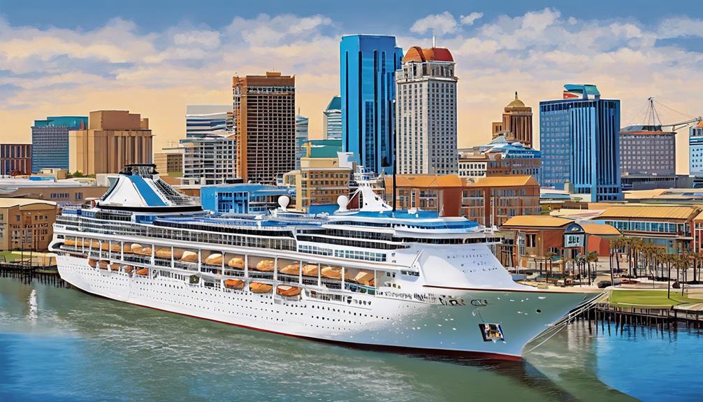
Onboard Amenities and Activities
Excursions Offered in Mobile
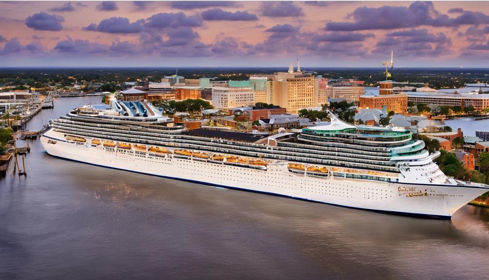
Sightseeing Tours Available
- Discover the storied past of Mobile with historical tours that showcase landmarks like the USS Alabama Battleship Memorial Park and the Mobile Carnival Museum.
- Indulge in delicious culinary experiences on food tours that offer a taste of the city's diverse flavors and traditions.
- Immerse yourself in the natural beauty of Mobile with nature excursions that include visits to the historic Fort Conde, the Mobile Botanical Gardens, and the picturesque Mobile Bay. These tours cater to all interests, from history buffs to nature lovers, ensuring a vibrant and fulfilling experience.
Local Cuisine Experiences
Historic landmarks to explore.
- USS Alabama Battleship Memorial Park : Step aboard this incredible WWII battleship and explore its history.
- Fort Conde : Immerse yourself in the city's past at this historic fort showcasing Mobile's heritage.
- Mobile Carnival Museum : Discover the magic of Mardi Gras through Mobile's colorful traditions and history.
Dining Options on the Ship
Local Attractions Near the Port
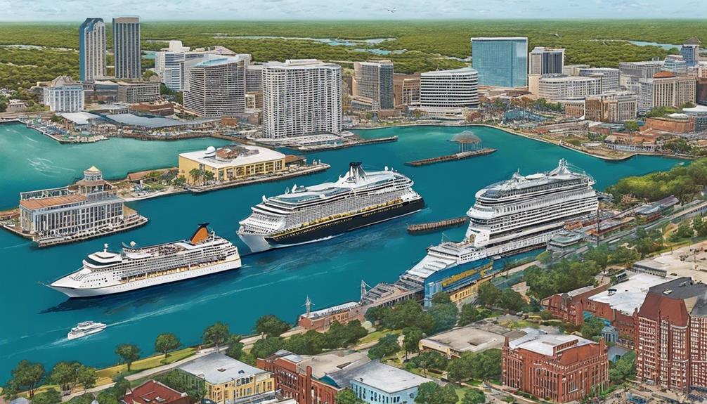
Nearby Dining Options
- The Noble South: A local favorite ready to welcome cruise passengers with its exquisite cuisine.
- Dauphin's: Offering a taste of local hospitality and delicious seafood dishes.
- Wintzell's Oyster House: Known for its convenient location and mouthwatering southern specialties.
Shopping Opportunities
Historical landmarks.
- Mobile Carnival Museum : Immerse yourself in the vibrant Mardi Gras traditions and marvel at the elaborate costumes that showcase Mobile's festive spirit.
- Fort Conde Museum : Step back in time to Mobile's colonial era at this museum, where interactive exhibits bring history to life in a captivating way.
- Cathedral Basilica : Admire the stunning architecture and experience the religious significance of this historic church in Mobile, a true gem showcasing the city's heritage.
Booking Information and Deals
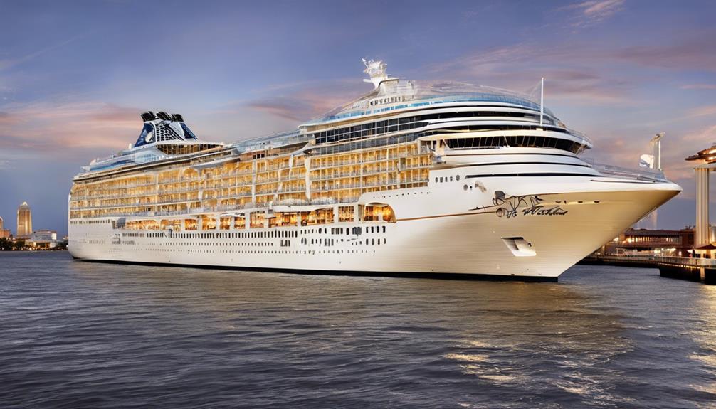
Safety Measures and Regulations
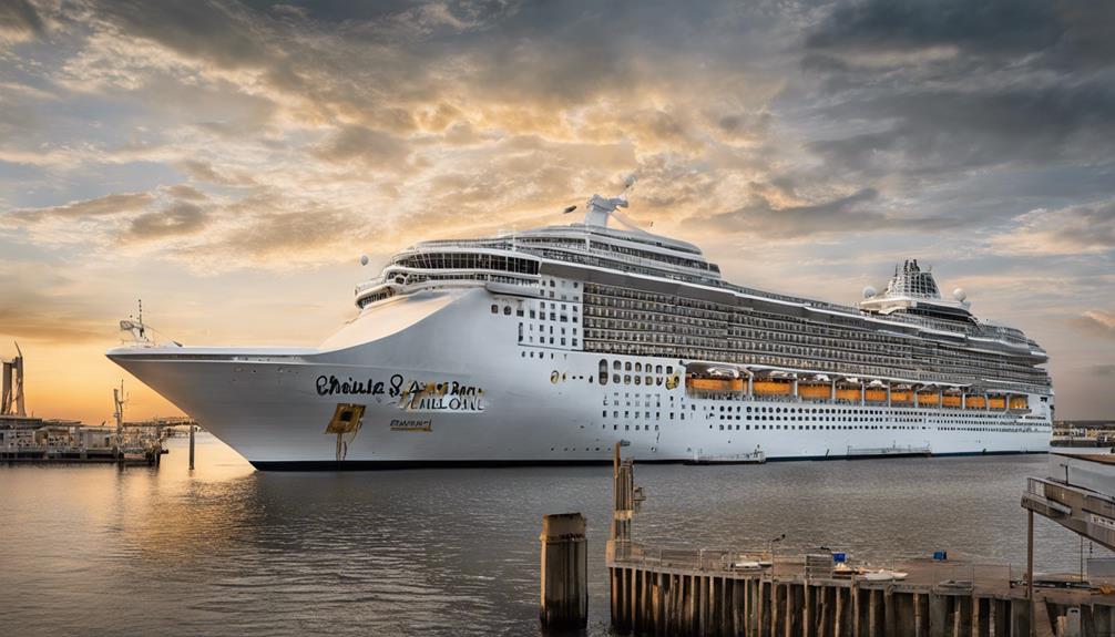
Safety Protocols Onboard
- Pre-Embarkation Health Screenings: Guests undergo health screenings before boarding to ensure a safe environment for all.
- Mandatory Mask-Wearing: Certain areas require guests and crew to wear masks for added protection.
- Ventilation Systems: Carnival Spirit boasts top-notch ventilation systems that exceed industry standards, maintaining high air quality throughout the ship.
Compliance With Regulations
Tips for first-time cruisers.

- Pack essentials like sunscreen, comfortable shoes, and swimwear for shore excursions and onboard activities.
- Familiarize yourself with the ship layout and amenities to navigate easily during your cruise.
- Take advantage of onboard dining options and entertainment to enhance your cruise experience.
Mobile's Historical Significance
Environmental Impact Initiatives
- Waste Recycling Programs: The ship has robust recycling systems in place to minimize waste and maximize recycling efforts, ensuring that we leave behind a cleaner footprint.
- Energy-Efficient Technologies: By incorporating cutting-edge technologies, we strive to reduce energy consumption and greenhouse gas emissions, making our operations more environmentally friendly.
- Water Conservation Measures: Through innovative water-saving techniques, we aim to conserve water resources and protect the delicate marine environment around Mobile, AL.
Souvenirs and Shopping Opportunities
What Cruise Ship Is Coming to Mobile in 2023?
Does carnival cruise line go out of mobile alabama?, is spring a good time for a cruise?, what is the name of the cruise ship in mobile alabama?.

Claire, a creative soul with an unquenchable thirst for storytelling, is an integral part of the Voyager Info team. As a dedicated writer, she weaves captivating narratives that transport readers to enchanting cruise destinations and beyond.
Claire’s love affair with writing began at an early age when she discovered the magic of words and their ability to craft worlds and emotions. Her innate curiosity led her to explore various literary genres, but it was travel writing that truly captured her heart. Drawing inspiration from her own globetrotting adventures and encounters with diverse cultures, Claire embarked on a journey to become a travel writer par excellence.
Discover How Cruise Ships Go to Bimini
Step into the mesmerizing world of cruise ship logistics as we unveil the intricate journey to Bimini, leaving you in awe of the precision and coordination behind the scenes.
- Efficient embarkation processes in Florida lead to a smooth boarding experience.
- Navigation procedures ensure safe passage through the Gulf Stream to Bimini.
- Bimini's port facilities offer seamless transitions from sea to land.
- Compliance with entry protocols at Resorts World Bimini ensures hassle-free experiences for visitors.
Embarkation Process
Navigation Routes
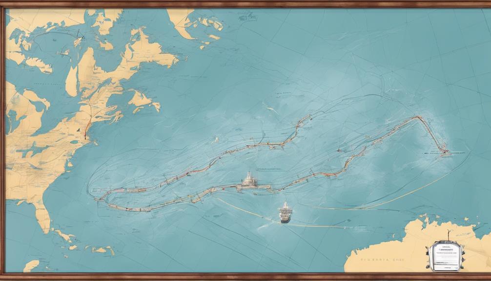
Safety Protocols at Sea
Port of Call: Bimini
Docking Procedures
Docking Process Overview
Safety measures during docking.
- Crew members secure the ship using ropes and lines to ensure a safe and stable position.
- The captain and navigation team coordinate with port authorities to guide the ship into the designated docking area.
- Advanced technology like thrusters and stabilizers assist in the precise maneuvering of the ship during docking.
- Regular emergency drills and rehearsals prepare the crew for any unforeseen circumstances during the docking procedure.
Crew Roles and Responsibilities
Onboard activities for guests.
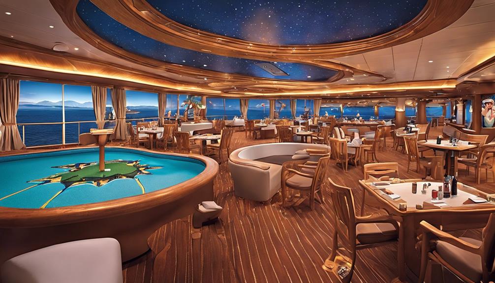
Fun Entertainment Options
- Live shows, musical performances, comedy acts, and theater productions
- Fitness classes, cooking demonstrations, art workshops, and dance parties
- Trivia games, karaoke nights, poolside activities, and themed parties
- Spa treatments, movie nights, casino gaming, and shopping
Dining Experiences on Deck
Relaxation and spa services, crew responsibilities.

Weather Considerations
Immigration and Customs
Disembarkation Process

Exiting the Ship
Customs and immigration, transportation options.
- High-speed ferry service from Balearia Caribbean offers speedy transportation between Bimini and nearby areas.
- The tram service provided by Resorts Worlds ensures convenient transportation within the port area.
- Taxis, a common mode of transportation on the island, charge around $5 per person for short distances.
- Golf cart rentals, favored by tourists for island exploration, are popular due to limited car availability and ease of navigation.
Can I Walk to the Beach From the Cruise Port in Bimini?
Can a cruise ship dock at bimini?, can you walk around bimini bahamas?, what is the best way to get to bimini?, 3 cruise ships that left miami yesterday.
Keen to uncover the thrilling adventures awaiting three cruise ships departing from Miami?
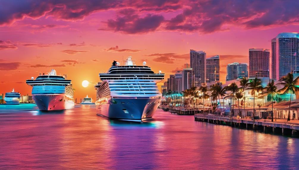
- Norwegian Escape, Carnival Horizon, and Celebrity Equinox departed Miami with their unique offerings and experiences.
- Passengers on these ships can enjoy diverse dining options, top-notch entertainment, and a mix of relaxation and adventure activities.
- Destinations include the Caribbean, Bahamas, pristine beaches, and snorkeling spots for an unforgettable cruise experience.
- Guests aboard these ships are spoiled with luxury amenities, lively atmospheres, and opulent facilities for a memorable journey.
Norwegian Escape
Carnival Horizon
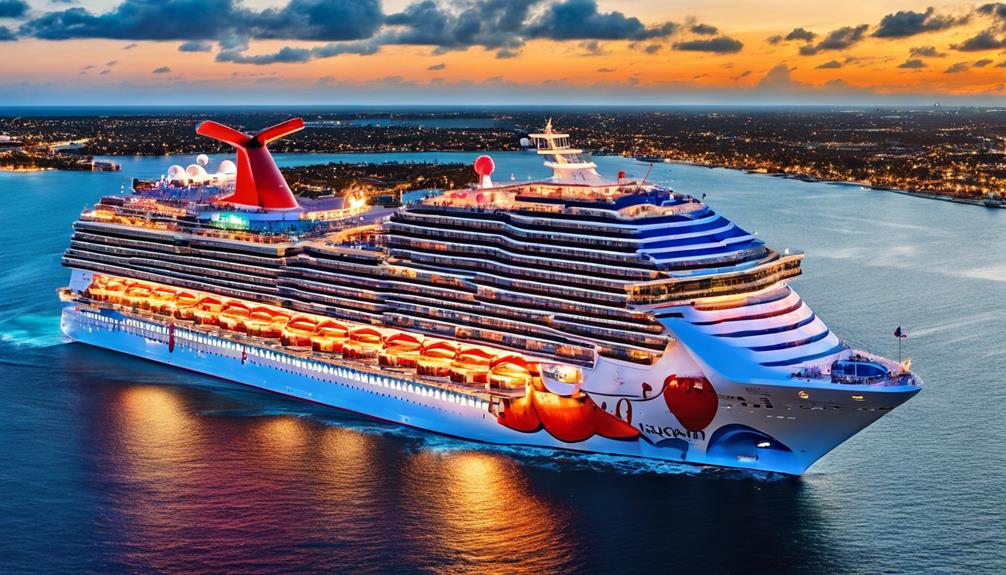
- Dining Options: From casual eateries to elegant restaurants, the Carnival Horizon offers a wide array of culinary choices to satisfy every palate.
- Entertainment Venues: Experience top-notch shows, live music, comedy acts, and more in the ship's various entertainment venues.
- Activities: Whether you're seeking adventure or relaxation, the Carnival Horizon has something for everyone, including waterslides, pools, spa facilities, and fitness centers.
- Onboard Atmosphere: Immerse yourself in the lively and welcoming atmosphere onboard, where you can socialize with fellow passengers or find your own quiet retreat spot to enjoy the stunning views of the Caribbean and Bahamas.
Celebrity Equinox
What Cruise Lines Sail Out of Port of Miami?
How many cruise ships are in port of miami?, what time does carnival horizon leave miami?, where does royal caribbean leave in miami?.

Affiliate disclaimer
As an affiliate, we may earn a commission from qualifying purchases. We get commissions for purchases made through links on this website from Amazon and other third parties.

Why Do I Need a Passport to Go on a Cruise to the Bahamas?

5 Cruise Ships That Have Guy's Burger Onboard
Which Celebrity Cruise Ships Have Been Refurbished

What Drinks Can You Bring On Princess Cruise

How To Turn On Cruise Control Tesla Model 3

What Is The Weather Like On A Transatlantic Cruise In April

How To Set Cruise Control Tesla Model Y

Azamara Onward: Origins, Renovation, and Future Plans
Anthony Bourdain: Unconventional Culinary Icon and Global Influencer

Authentic Tacos and Local Delights: A Culinary Adventure in Cabo San Lucas
Arctic Adventure: Uncharted Destinations With Le Commandant Charcot

Authentic Art, Exciting Auctions: The Ultimate Cruise Ship Experience!

How To Get From Venice To Chioggia Cruise Terminal

How Do You Qualify For An Ultra Cruise On Carnival
How to Contact Someone on a Carnival Cruise Ship
Cruise News Daily - Cruise Weather Index
- Cruise Tips
- Western Caribbean Ports
- Eastern Caribbean Ports
- Southern Caribbean Ports
- Cruise Weather
- Attractions
- Central America
- New England
- South America
- All forecasts
- Satellite Maps
- Eastern forecasts
- Western forecasts
- Southern forecasts
- Hurricane season
- Monthly weather
- Air temperatures
- Water temperatures
- Rainfall by month
Caribbean Weather Forecasts - 10 Days

Caribbean weather forecasts have average daytime temperatures ranging from the low 80s Fahrenheit in the winter to the high 80s Fahrenheit in the summer. Some destinations during the summer reach into the 90s Fahrenheit or low 30s Celsius.
The dry season goes from December to May. The Caribbean hurricane season with a higher risk of rain lasts from June through November.
Caribbean Monthly Weather
Following is a summary of average Caribbean weather by month. Click on the links for average rainfall and temperatures by month for every major destination.
Caribbean Weather in May
Not surprisingly, the Caribbean in May has warmer temperatures than April. But May also brings a brief rainy season to some destinations.
Locations with higher risk of rain include the Bahamas, Cancun, Cozumel, Dominica, Grand Cayman and Jamaica. It’s a better time of year for eastern or especially southern Caribbean cruises to places such as Aruba and Curaçao. It is not the best time for western Caribbean cruises. Instead, a better time to go to the western Caribbean is January through April when those locations have a lower risk of rain.
Caribbean weather in June is the official start of hurricane season, but it’s a weak start. Although hurricanes in June are rare, the average rainfall climbs for many Caribbean islands. The Bahamas have the highest rainfall among major islands with an average of more than eight inches. Other destinations with higher than normal rainfall include the western Caribbean destinations of Cancun, Cozumel and Grand Cayman. Belize and Costa Rica in the western Caribbean also have high levels of rain, but heavy rainfall is normal for them.
Destinations with a lower risk of rain are in the southern and eastern Caribbean. Islands with a light to moderate risk of rain include Antigua, Aruba, Curaçao and St. Maarten.
July weather in the Caribbean is more risky than June because of increasing rainfall from the Caribbean hurricane season.
The region averages three tropical storms during the month with two becoming hurricanes, according to the U.S. National Hurricane Center. This compares to one tropical storm and (usually) no hurricanes in June.
It’s a hot month. Average daytime high temperatures reach or go above about 90 degrees Fahrenheit or 32 Celsius for many major destinations. They include Aruba, Cancun, Cozumel, Curaçao, Grand Cayman and St. Maarten.
Early July is less risky than late July because the Caribbean hurricane season gradually gets worse as its gets closer to the peak months of September and October. Anyone planning a summer vacation in the Caribbean should try to go in June rather than July and July rather than August.
August weather is usually grim for the Bahamas. Historically, Nassau averages more than nine inches of rain during the month, according to the Bahamas Department of Meteorology. Anyone planning a Caribbean cruise during August might want to avoid the Bahamas.
Belize, Costa Rica, Dominica, Guadeloupe and Martinique also historically have high levels of rain in August. Islands with the lowest average rainfall are Aruba and Curaçao. Destinations with moderate rainfall include Antigua, St. Maarten and St. Thomas.
Heat reaches the highest point of the year for many destinations. Average daytime temperatures often go above 90 degrees Fahrenheit or 32 Celsius for Aruba, Cancun, Cayman Islands, Cozumel and Curaçao.
September weather in the Caribbean historically is the worst weather of the year. Three types of people visit the Caribbean in September :
- People who don’t know that September is the worst weather month.
- People who do know but take a chance anyway.
- People who see a good 10-day weather forecast and book their hotels and flights at the last minute.
September weather is the worst of the year because it is the peak time of activity for the annual Caribbean hurricane season. Historically, the region averages four tropical storms with three becoming hurricanes and two of the three becoming major hurricanes.
The dry island of Aruba in the southern Caribbean still is the leader for the lowest risk of rain, followed closely by nearby Curaçao. Many other destinations average between six and 13 inches of rain. Cancun, Cozumel and the Central American countries get hit especially hard. Daytime temperatures for most of them average in the upper 80s to low 90s Fahrenheit or about 30 Celsius.
October is the second worst month of the year for Caribbean weather thanks to the annual hurricane season. Visitors in October may hope for better weather than September, which historically has the worst. But they might not get it. October weather also is the second worst month of the hurricane season with higher than normal rainfall. The month historically averages four tropical storms.
A handful of destinations have lower risk of rain. Aruba and Curaçao historically have the lowest of any with three inches each, although these amounts are more than what both islands usually experience. Among all destinations, they have the lowest risk of rain. St. Maarten ranks third.
Places to avoid with an average of eight or more inches of rain include Belize, Cancun, Cozumel, Dominica, Guadeloupe, Grand Cayman and St. Lucia. Despite the bad historical numbers, some Caribbean cruise and resort vacationers may get lucky.
November is the final month of the Caribbean hurricane season.
It has a much lower risk of rain than September or October for many Caribbean destinations. But it’s still the third worst month of the year for rain.
Caribbean weather in November historically averages no hurricanes and only one tropical storm every other year. But rainfall is higher than average for nearly all islands in the region, especially the popular cruise ports at Barbados, Grand Cayman, St. Lucia, St. Maarten and St. Thomas.
The driest islands include Aruba, Bahamas, Curacao, Jamaica and Cuba. Temperatures stay in the mid to upper 80s Fahrenheit for most destinations. Cruise and resort visitors won’t have a problem staying warm.
Our second eastern Caribbean cruise in December had fantastic weather with temperatures in the low 90s Fahrenheit and almost no rain. But we had good luck. It was warmer and drier than usual.
Temperatures average in the mid 80s Fahrenheit during the day for most destinations. Rainfall averages about three to four inches during the month, which is slightly more than the dry season in the spring.
December is a popular month for Caribbean vacations because of better weather than the previous four to five months. People also flock here from northern destinations to get away from winter and take advantage of Christmas break from schools.
The better options for weather in December include Antigua, Aruba, Grand Cayman and the Virgin Islands because they have lower risk of rain. Cancun, Cozumel, Jamaica and San Juan are usually still a bit wet.
The Bahamas are dry but cooler because of their northern location. See more about December weather .
The Caribbean in January offers a warm escape from cold northern winters. Most major destinations have an average high temperature in the low to mid 80s Fahrenheit or high 20s Celsius. Low rainfall is common because the region is starting the annual dry season.
Yes, daytime temperatures are usually warm for most destinations. But nighttime temperatures are sometimes cool enough to bring down water temperatures by the time morning comes around. They become uncomfortable for swimming at times, especially in combination with strong trade winds. Western and southern Caribbean weather is ideal during these winter months. Note that the Bahamas are especially cooler in January.
My trips to the Caribbean in February have taught me to expect some of the lowest rain of the year but also some of the coolest water temperatures. Go to farther south destinations for warmer weather. Avoid northern destinations such as the Bahamas and Turks and Caicos.
I suggest planning on shopping, shore excursions and other land activities in the mornings until temperatures get warmer. Hit the beach in the early to mid afternoon for the warmest land and water temperatures of the day.
Our February weather guide has average temperatures for every major destination.
March weather in the Caribbean is nearly ideal for a combination of warm temperatures and low risk of rain for most destinations. It’s one of the best times to visit for a cruise or hotel vacation. It’s also a popular time because of spring break from schools.
Average daytime temperatures reach the mid 80s Fahrenheit or or high 20s Celsius for many major destinations.
Western Caribbean cruises to Cozumel, Grand Cayman and other islands are especially popular during this month. Beware spring break that will flood some destinations with families and college students. Cancun in particular often gets quite busy.
March weather also offers one of the driest months of the year for the Caribbean. Many islands have two inches of rain or less for the entire month compared to as much as eight to 10 inches in the fall.
Caribbean weather in April gets even better than March. In my experience, April has the best weather in the Caribbean for any month of the year.
Temperatures mostly climb into the mid 80s Farenheit and high 20s Celsius. They warm to the point where swimming is usually comfortable even in northern destinations. One exception is the Bahamas, which are in the Atlantic but common stops on Caribbean cruises. April also is near the end of the dry season, so most islands have low risk of rain.
- Scott S. Bateman
Best Southern Caribbean Ports
Western caribbean cruise guide, best times for eastern cruise, 10 best eastern caribbean ports, how to choose a cruise cabin.
- Cruise Ports

Location of Cruise Ships
Where are the cruise ships now.
The following list is showing the scheduled location of all cruise ships. Please click on the ship name to see the current ships position in a map and additional information.
Sign up for the best deals!
Sign up and we'll send you the best deals to your inbox - 100% FREE.
Latest price updates
Cruise Weather Forecast Cruise Weather Forecast
- United States
Cruise is 378 m above sea level and located at 37.32° N 84.12° W . Local time in Cruise is EDT.
Cruise Weather Today
Light rain (total 8mm), mostly falling on Tue afternoon. Warm (max 24°C on Mon afternoon, min 13°C on Tue night). Wind will be generally light.
Cruise Weather
Moderate rain (total 15mm), heaviest on Fri night. Warm (max 27°C on Thu afternoon, min 15°C on Thu morning). Wind will be generally light.
10 Day Cruise Weather
Light rain (total 9mm), mostly falling on Mon night. Warm (max 27°C on Sun afternoon, min 17°C on Sun morning). Wind will be generally light.
Cruise Weather Next Week
Heavy rain (total 44mm), heaviest during Thu morning. Warm (max 30°C on Fri afternoon, min 19°C on Thu morning). Wind will be generally light.
Live weather stations near Cruise
* NOTE: not all weather stations near Cruise update at the same time and we only show reports from the nearest stations that are deemed current. Weather reports submitted by any ship (SYNOP) that is close to Cruise within an acceptable time window are also included. Read More
Cruise Location map
Kentucky weather map, weather forecast for places near cruise:.

- Cookie Policy
- Privacy Settings
- Do Not Sell My Personal Information
Weather Photos
- Cloud Formations
- Autumn Colours
- Rainbows & Reflections
- Snow, Ice & Frost
- Sunrises & Sunsets
- Rain & Floods
© 2024 Meteo365.com
- CRUISE TIPS
- Carnival Cruise Lines
- Celebrity Cruise Line
- Disney Cruise Line
- Holland America Line
- MSC Cruises
- Norwegian Cruise Line
- Princess Cruises
- Royal Caribbean
- Virgin Voyages
- Windstar Cruises
- Travel Deals
- CRUISE SHIP TRACKER
- Port Webcams
Cruise Ship Tracker, Live Map Ship Tracking
- Move your mouse or finger over the vessel for live data.
- Click a ship for even more sailing details and real-time information.
- Zoom in close enough and you’ll see the ship moving in real-time.
Live Cruise Ship Tracker
Here, you can check the current location of cruise ships worldwide. You can use this real-time cruise live ship tracker to know where your desired vessel is. You’ll be able to see your current ship position and activity. Follow the vessel as it is docked in port and anchored, and even see live speed data in real-time via an interactive world map,
Cruise Ship Tracker
AIS ship tracking is a great way to stay up-to-date on the location of marine vessels. Using the AIS system, you can track the progress of a ship as it travels from port to port. This information can be beneficial for planning your travel itinerary and following your ship during your cruise vacation. Every cruise line follows its vessels to keep tabs on their time of arrival and current position as well as other items that might cause delays, such as weather or other marine traffic.
Want to stay up-to-date on cruise ship locations?
The AIS system is a network of transponders that sends information like ship name, location, course, and speed. This data can be used to track the progress of a cruise ship as it travels from port to port.
What Cruise Lines and Cruise Ships are tracked?
All of the world’s cruise lines use the AIS system to track each cruise ship in their fleet using updated data. It helps large vessels like cruise ships, and others know each other’s current location, speed, heading, routes, etc. You can look up a specific cruise ship or focus on a particular fleet from your favorite cruise line. Of course, this system also can show many other vessels such as cargo ships, pilots, yachts, passenger ferries, and many more.
Automatic Identification System (AIS)
The Automatic Identification System, or AIS, is a system used by ships and other vessels to identify each other and transmit their locations. This information can be used to track the progress of a cruise ship as it travels from port to port. The data transmitted by AIS includes the vessel’s name, course, speed, destination, ship type, and any safety-related messages. It also provides an indication of the vessel’s size, type, cargo, and maneuverability. The system also uses a network of base stations located on shore.
Vessel Traffic Services (VTS)
The vessel traffic services (VTS) system is used mainly for monitoring and controlling maritime traffic in an area of specific importance. With its modern technology , it enables the authorities to observe, analyze, and coordinate the movement of vessels within a designated area. The system consists of various communication channels such as radar, AIS, VHF radio, and satellite.

Real-Time Cruise Ship Tracking Map
Today people are cruising more and more. The cruise lines make a great effort to offer passengers an enjoyable and safe experience. With AIS ship tracking, cruise lines can better manage their growing fleet. Cruise lines also have state-of-the-art fleet operation centers that enable real-time information sharing between the centers and the fleet. The fleet operation centers focus on more than just the ship’s location but also Nautical Operations & Safety, Procedural Optimization & Efficiency, and Sustainability.
What is Cruise Ship Tracking?
Cruise ship tracking is a technology that allows cruise lines to monitor their vessels in real time. AIS (Automatic Identification System) has become the standard for ship tracking, as it broadcasts the position of a vessel every few minutes. This data can be received by any receiver with an AIS system and can be used to track the progress of not only cruise ships but, other passenger vessels, cruise ferries, and even container ships. Modern vessel tracking allows authorities to see the positions of vessels in real-time. This might help you get a package on time or in the case of cruises , plan for any delays arriving in a port. Shore excursions can be re-scheduled if needed well before the day arrived if a delay due to weather or another incident occurred.
What benefits of Cruise Ship Tracker?
By using the AIS ship tracking system, you can gain valuable insights about cruise ships and other vessels. The real-time data received from the AIS system allows you to stay up to date on the current location of a cruise ship, its speed, and its heading. This is great for planning your own cruise itinerary or just staying informed on the progress
Types of Ships Listed
The cruise ship tracking system provides real-time data for all types of vessels, not just cruise ships. This data includes a wide variety of vessels such as cargo ships, pilots, yachts, passenger ferries and many more. This means that you can track any vessel that is using the AIS system and receive detailed information about its current location and route.
Passenger Ships
AIS ship tracking provides real-time data for all types of passenger ships. This includes cruise ships, ferries, and other vessels that transport passengers from port to port. By using the AIS system, you can easily keep up with a passenger ship’s current location and speed as it travels around the world.
Cargo Ships
The AIS system also provides real-time data for cargo ships. This means you can track the progress of a cargo ship as it transports goods from port to port. This can be useful for businesses that depend on the timely delivery of their products .
Other Types of Ships
The AIS system also provides real-time data for many other types of vessels. This includes yachts, fishing boats, tugboats, and other recreational vessels.

Popular Cruising Companies & Lines
The AIS ship tracking system can be used to track a wide variety of cruise lines and companies. Popular cruising companies such as the following:
- Carnival Cruise line
- Royal Caribbean International
- Viking Cruises
- P&O Cruises
- Costa Cruises
- Marella Cruises
- AIDA Cruises
- Phoenix Reisen
- American Cruise Lines
This means you can keep up with the current location of your favorite cruise ship as it sails around the world. All modern cruise lines use the AIS system for fleet tracking to schedule port arrivals and make changes due to weather conditions in real time.
Safety and Security with Cruise Ship Tracker
The AIS ship tracking system provides an extra layer of security and safety for fleets. Not only can the system provide real-time data on the location of a vessel, but it also allows for quick response times to any potential emergencies that may arise. Cruise lines are able to use this data to better manage their fleets and respond quickly if necessary.
Environmental Benefits
The AIS ship tracking system can also provide environmental benefits. By monitoring the progress of vessels, cruise lines, and other fleets can better optimize their routes for fuel efficiency. This means that by using the AIS system, ships can reduce their fuel consumption and emissions, resulting in a greener fleet.

Can you track every cruise ship?
No, not every cruise ship can be tracked. Some cruise ships may not have an AIS system installed, and therefore cannot be tracked. Additionally, some countries may restrict the broadcast of AIS data for security or other reasons. For these reasons, it is essential to double-check the availability of AIS data before attempting to track a specific cruise ship.
United States Coast Guard Regulations
The United States Coast Guard requires all ships operating in US waters to have an AIS system installed. This means that all cruise ships visiting the United States must have an AIS system installed and active at all times. This requirement ensures that all vessels are visible and traceable while in US waters, allowing for improved safety and security.
Emergency Situations
In the event of an emergency, AIS ship tracking can be used to quickly locate and contact a vessel in distress. By using the system, search and rescue teams can quickly and accurately locate vessels in need of assistance. This can mean the difference between life and death in some cases.

View Vessel Photos
Vessel Photos are listed for most ships, in addition to providing real-time tracking data, the AIS system can also provide vessel photos. This allows you to quickly and easily identify any vessels in the vicinity of your chosen port. The photos can be used to check for damage or other irregularities before boarding a vessel. Other Great Ship Tracking Websites To Track Your Ship Accurately 1. Shipfinder 2. VesselFinder 3. myshiptracking 4. Cruisemapper 5. Ship location
Modern-Day Ship Tracking
Today, people are cruising more and more. The cruise lines make a great effort to offer passengers an enjoyable and safe experience. With AIS ship tracking, cruise lines can better manage their growing fleet. Cruise lines also have state-of-the-art fleet operation centers that enable real-time information sharing between the centers and the fleet. The fleet operation centers focus on more than just the ship’s location but also Nautical Operations and safety, Procedural Optimization and efficiency, and Sustainability.
Cruise Ship Tracking FAQ
Q: what is a cruise ship tracker.
A: A cruise ship tracker is a tool that allows you to track the location and movement of cruise ships in real-time on a map.
Q: How can I track cruise ships using a tracker?
A: You can track cruise ships by selecting a specific ship from the list and clicking on it to display its live map and current location.
Q: Can I view the speed of a cruise ship using a tracker?
A: Yes, you can view the speed of a cruise ship on the live map tracking feature of the cruise ship tracker.
Q: Is it possible to see the destination of a cruise ship with a tracker?
A: Yes, you can see the destination and ETA (estimated time of arrival) of cruise ships on the live map tracking feature of the cruise ship tracker.
Q: How do I find a specific cruise ship on the tracker?
A: You can find a specific cruise ship by entering its name in the search option or selecting it from the list of ships currently available for tracking.
Q: Is the cruise ship tracker free to use?
A: Yes, the cruise ship tracker is free to use and provides live tracking of cruise ships around the world.
Q: Can I track multiple cruise ships at the same time using the tracker?
A: Yes, you can track multiple cruise ships simultaneously by selecting the ships you want to track and displaying their live maps.
Q: Does the cruise ship tracker provide additional information about the ships?
A: Yes, the cruise ship tracker provides additional information such as the cruise news, deck plans, and other industry-related details about the tracked ships.
Q: How often is the live map updated on the cruise ship tracker?
A: The live map on the cruise ship tracker is updated frequently to ensure you have the most recent information about the ship’s location and course.
Q: Can I use the cruise ship tracker to track specific port arrivals?
A: Yes, you can use the cruise ship tracker to track specific port arrivals and departures of cruise ships, providing you with real-time information about the ships’ activities.
© Copyright 2024 - Cruise Addicts
- Affiliate Disclaimer
- Privacy Policy
You are using an outdated browser. Please upgrade your browserto improve your experience and security.

Cruise Liner Fleet Forecast and Monitoring Services
- Continuous monitoring for any threat
- Customized “heavy weather” thresholds
- Daily Tropical Summaries and storm-specific alerts
- Daily Adverse Weather Summaries
- Daily Port Summaries and Trip Summaries
- Daily Port Forecasts and Forecast Maps
- Upgrade to Optimum Routing/Forecasting
- 24/7 access to our Dolphin website
- Pre-Voyage Reportsfor initial route planning
- Optimum route recommendation
- 6-hourly tabular forecasts
- Synoptic weather discussion
- Forecast maps/charts
- Comparison route options/forecasts
- Four-day outlook covering next two ports of call
- Forecast conditions at berth and seabuoy
- Detailed Tender Reports for sensitive port calls
- Detailed Visibility Reports in poor visibility-prone regions
- Reports created on-demand on Dolphin
- Interactive web-based software to monitor weather
- Latest data-continuously updated with no hardware required
- Fleet dead-reckoned on all forecast charts
- Winds, Seas, Precipitation, Currents, Temperatures, Visibility, Ice, and more
- Port Forecasts and specialized reports for any location
- Fleet Monitoring Dashboard for all weather/performance data
- Tropical Tracker provides latest tropical analysis, forecasts, and discussions
- Voyage Planner compares various routing options for safe/efficient transits
- Real-time observations (ship, land, buoy), satellites, and radars
- AIS satellite tracking/polling
- Desktop software downloaded to any computer
- Continuous Internet connection is not required
- Route/Weather data packages emailed four times daily
- View/edit route/speed options
- Overlay forecast maps and real-time data
- Vessel dead-reckoned on all routing options out to 10 days
- Compare time, distance, weather, currents, and more
- Summary table guides user to the optimum route
- Climate Reports for route/voyage planning
- CrEWS elevated wind data
- Multiple Itinerary Matrix
- Earthquake/Tsunami alerts
- Piracy alerts
- Icebergs, Sea Ice, Freezing Spray
- Legal/Forensic analysis and review
- Global computer-generated model data
- WRI’s in-house high-resolution model data
- RTOFS high-resolution ocean current data
- ASCAT/SSMI satellite-derived wind analysis
- Land/ship/buoy observations
- Global Data Assimilation System (GDAS)
- New York 1.518.798.1110 wriwx.com [email protected]
- WRIDolphin.com SeaWeather.net

All working great and providing valuable information
Captain, Cruise Ship
Thanks WRI, Forecasts have been spot on for this crossing!
It is a pleasure to work with such consummate professionals
Thank you for the excellent updates

CruiseShipLocator

Weather Map and Reports
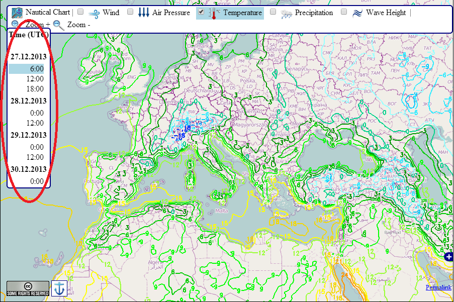
Live 3 days weather forecast world map by openseamap (5 days individual cruise ships weather reports see below the live map)..
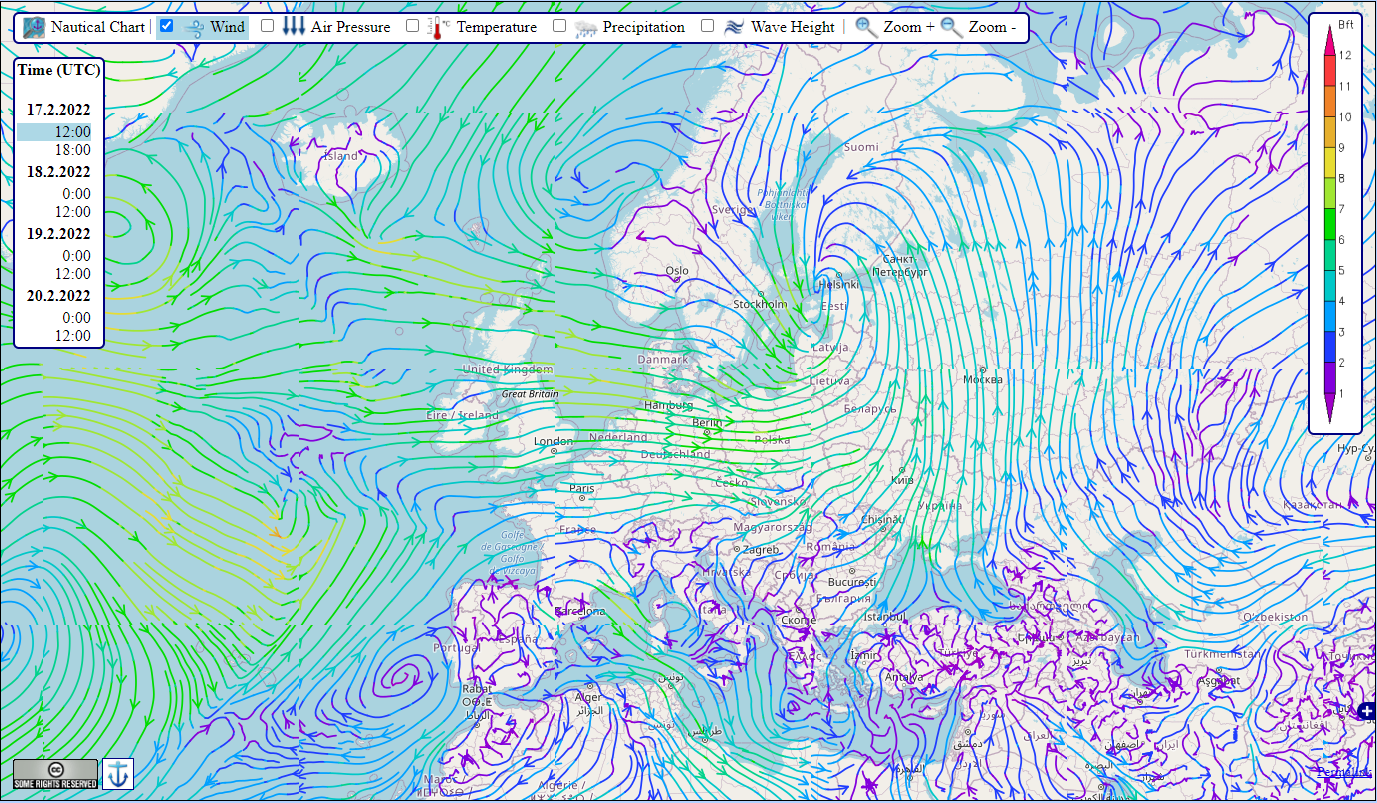
This map is provided by OpenSeaMap under Creative Commons Attribution-ShareAlike 4.0 International Public License
3 Days Weather Forecast
Temperatures (3 days forecast)
Winds Map (3 days forecast)
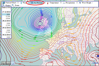
Air Pressure (3 days forecast)
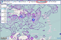
Precipitation (3 days forecast)
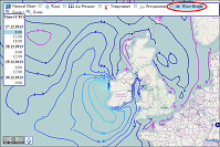
Wave Height (3 days forecast)
Carnival Legend
Carnival cruise line.
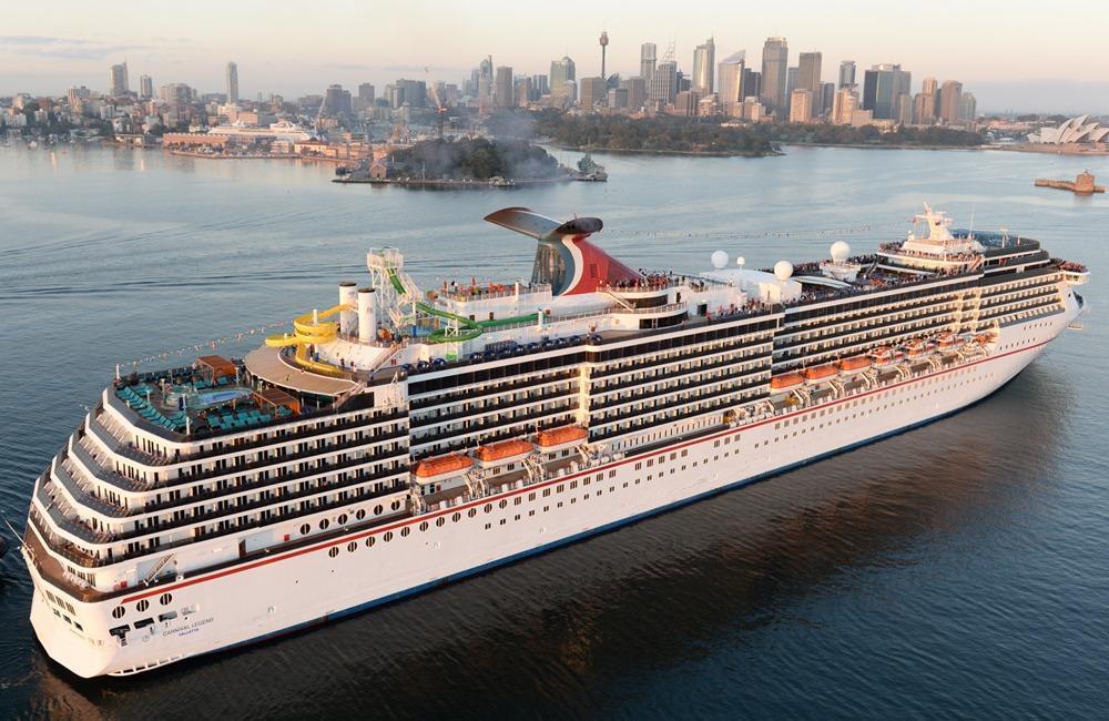
- Year of built 2002
- Length (LOA) 292 m / 958 ft
- Passengers 2549
- Destination Marseille
- ETA April 27, 04:00
- Temperature
Alexa Minton’s Forecast | Tracking a warm and sunny Sunday ahead of a rainy week
LEXINGTON, Ky. (WKYT) - An absolutely beautiful day is ahead for the Bluegrass, with sunshine and warm temps for our region by the afternoon. Breezy skies will continue, with sustained winds in the 10-15mph range and some gusts getting up to 25mph at times. However our skies will stay calm as clouds dissipate, and temps in the afternoon will range from 77 to 84 across the state. Enjoy the sunshine today!
As we head into our day tomorrow, we start off our Monday nice and calm with just a little bit of cloud cover lingering for our area. It’s in the afternoon where we see some rain start to push towards our region. There is a weaking cold front that is approaching from west that will reach us late in the day on Monday, but the temps again will get up to the 80s.
Showers and thunderstorms will roll in late Monday, with some capable of gusty winds, lightning and even heavy rainfall. The peak will be in the overnight but rain will linger into your Tuesday morning commute before drying out by Tuesday afternoon and leaving our temps in the mid to upper 70s. More showers and Thunderstorms are possible later in the week, so keep that umbrella handy as we head into a warm and wet weather pattern in time for Derby week
Enjoy your day today!
Copyright 2024 WKYT. All rights reserved.

Victim identified in deadly Scott County crash

Couple accused of burglarizing home of victim in deadly Ky. crash

Victim ID’d in deadly Lake Cumberland boating accident

Lexington Police investigate afternoon shooting

Multiple individuals displaced after house fire in Lexington
Latest news.

WATCH | Jim Caldwell's FastCast

Jim Caldwell's Forecast | Temperatures remain pretty warm despite some rain chances

Ben Beddoes’ Forecast | Above average temperatures continue into work week

- Live Weather Radar
Hurricane Tracker
- Severe Weather Event Cameras
- Satellite Imagery
- Port Weather
- Weather Links
Follow along with the video below to see how to install our site as a web app on your home screen.
Note: This feature may not be available in some browsers.
- Guest Register If you are reading this it means you have not yet registered. Please take a second to REGISTER (it's FREE). You will then be able to enjoy all the features of Cruising Earth .
Hurricane Tracker / Live Hurricane Tracking Map - Cruising Earth
Live Interactive Hurricane Tracker
Track tropical depressions, tropical storms and hurricanes worldwide on this tracker. Active storm information should already be populated on the map. To change storms select from the menu and tab options.
View the impact of current severe weather events through live cameras:
Discuss the impacts of the latest storms on life, property and your vacation plans:
It looks like you may be utilizing ad blocking software or another ad filtering technology while visiting Cruising Earth. Certain areas of this site may not work properly because of this, particularly live updates of ship trackers and webcams.
We work hard to strike a balance between content and ads and as a free site we greatly appreciate your support in permitting ads to render. Ads help us cover our server and maintenance costs, which helps us continue to keep this site free to use. You also don't want to miss out on any specials or discounts posted from the Cruise & Travel Industry! For the best site experience please disable your ad blockers for cruisingearth.com, then click the button below. Thank you.

IMAGES
COMMENTS
Cruise Outlook provides custom weather forecasts for many cruise sailings as well as other information about your trip. Planning and packing for your next cruise has never been so easy! Register; Login; Weather Reports. Cruise Info. Live Ship Cameras. Current Ship Positions. Future Ship Positions. Build a Report ...
PassageWeather was developed out of the need for accurate, reliable and easy to use weather information and forecasts. We provide 7-day Wind, Wave and Weather Forecasts to help sailors with their passage planning and weather routing. Both before and during deliveries, ocean races, regattas, cruises and all other types of offshore passages, we ...
CruiseMapper provides free cruise tracking, current ship positions, itinerary schedules, deck plans, cabins, accidents and incidents ('cruise minus') reports, cruise news
Weather. Check directly with your cruise line for any possible weather related delays or itinerary changes. Many cruise lines will also allow you to sign-up online to receive weather alerts via email or text message pertaining to your specific cruise. Live interactive weather radar, satellite imagery, current port weather and forecasts, water ...
By researching weather patterns, using weather websites and apps, and looking for cruise-specific forecasts, you can stay informed about the conditions you may encounter. One interesting statistic to note is that according to a study by Cruise Lines International Association, 87% of cruise travelers consider weather to be an important factor ...
Tue May 28Carnival Splendor10 night Great Barrier Reef from Sydney. Cruise Outlook provides custom weather forecasts for many cruise sailings as well as other information about your trip. Planning and packing for your next cruise has never been so easy!
Track A Cruise Ship From One Of These 103 Cruise Lines. First select the cruise line below. You will then be shown a list of cruise ships that are available for tracking within that cruise line. Fred. Olsen Cruise Lines. Track Cruise Ships, Cruise Ferries, Research Ships, Military Ships and Famous Ships right here live on Cruising Earth!
Cruise News Daily - Cruise Weather Index. Cruisers often wonder about the weather they will encounter on their cruise, especially when there is a major storm reported in the area of their cruise. These situations point up one of the major advantages of a cruise vacation over a land-based vacation: If a storm is coming, cruise ships just sail ...
Caribbean weather forecasts with 10-day reports, current weather and temperatures for all major islands. Also satellite map, hurricane tracker and monthly climate averages. Cruise and Beach Destinations in the ... Our second eastern Caribbean cruise in December had fantastic weather with temperatures in the low 90s Fahrenheit and almost no rain
Cruising Earth. In order to track a cruise ship on Cruising Earth, you first need to choose a cruise line from the 177 options offered. Next, you'll be prompted to select a specific cruise ship ...
Feel free to use this real-time cruise ship tracker to know where your desired vessel is. You'll be able to see if a cruise ship is docked in port, anchored and even live speed data in real time ...
The following list is showing the scheduled location of all cruise ships. Please click on the ship name to see the current ships position in a map and additional information. Use our Ship Tracker and discover all current cruise ship locations on a map. Our Cruise Ship Locator is updated daily.
Cruise. Cruise Weather Forecast. Providing a local hourly Cruise weather forecast of rain, sun, wind, humidity and temperature. The Long-range 12 day forecast also includes detail for Cruise weather today. Live weather reports from Cruise weather stations and weather warnings that include risk of thunder, high UV index and forecast gales.
Live Cruise Ship Tracker. Here, you can check the current location of cruise ships worldwide. You can use this real-time cruise live ship tracker to know where your desired vessel is. You'll be able to see your current ship position and activity. Follow the vessel as it is docked in port and anchored, and even see live speed data in real-time ...
Track Ships Worldwide In This Live Ship Tracker. Track a specific ship live by searching for it by name below or by selecting it from the ship line options below. Tracking a specific ship will give you additional details like the ship's current location, recent track, speed, course, next port destination, estimated time of arrival (ETA) and more.
Weather Related Cruise Delays & Itinerary Changes Check directly with your cruise line for any possible weather related delays or itinerary changes. Many cruise lines will also allow you to sign-up online to receive weather alerts via email or text message pertaining to your specific cruise.
Cruise SurveillanceWeather Routing Inc. (WRI) has developed a system designed specifically for safe and enjoyable cruise transits. Our team continuously monitors your vessels for any potential tropical or adverse weather threat, and your operations team and vessels are immediately alerted so that preparations can be made.
Weather Map and Reports Live 3 Days Weather Forecast World Map by OpenSeaMap (5 DAYS individual cruise ships weather reports see below the live map). This map is provided by OpenSeaMap under Creative Commons Attribution-ShareAlike 4.0 International Public License
CARNIVAL LEGEND Current Location. Carnival Cruise Line. Review Deckplans. Carnival Legend current position is at coordinates 42.63901 N / 4.57874 E en route to Marseille. CARNIVAL LEGEND (Carnival Cruise Line) current ship position tracker and cruise itinerary with port details. CHECK ON MAP...
Weather. Weather Cams. Closings & Delays. 3 Degree Guarantee. ... Tracking a warm and sunny Sunday ahead of a rainy week. ... Naked cruise to sail from Miami in 2025.
Carnival Radiance is a Destiny Class cruise ship currently operated by Carnival Cruise Lines. The ship has been in active service for 24 years. View Carnival Radiance's current position, recent track, speed, course, next port destination, estimated time of arrival (ETA) and more in the cruise ship tracker map below.
Live Interactive Hurricane Tracker. Track tropical depressions, tropical storms and hurricanes worldwide on this tracker. Active storm information should already be populated on the map. To change storms select from the menu and tab options. View the impact of current severe weather events through live cameras: View Severe Weather Event Severe ...